RB
R. Botha
Mine Surveyor · Rustenburg
Their ground-motion monitoring gave us early warning on tailings movement we would otherwise have missed. Invaluable for mine safety.
Precision geospatial intelligence that empowers informed decision making. Born in Africa, Built for the World










About Us
Founded by Thobani Maluleka, EarthSense-Geospatial Incorporated is a South African geomatics and geospatial intelligence practice built around a single connected pipeline (measure, observe, understand, predict and advise) for government, mining, construction and environmental clients across Africa and beyond. Rather than handing projects between disconnected vendors, we keep survey, analysis and advisory under one roof.
“To deliver precision geospatial intelligence that empowers informed decision making, integrating advanced measurement science, remote sensing and computational analysis with ethical practice.”
Why Choose Us
At EarthSense-Geospatial, we transform the physical world into reliable spatial intelligence that enables better decisions. By combining registered professional expertise, advanced surveying and remote sensing technologies, rigorous methodology, and deep local knowledge, we deliver more than accurate data. We deliver clarity, compliance, insight, and confidence through one accountable partner. From construction and mining to infrastructure and environmental management, EarthSense-Geospatial provides the intelligence you need to reduce risk, improve outcomes, identify opportunities, and move forward with certainty.
What We Do
Seventeen integrated services spanning survey, earth observation, spatial analysis, prediction and advisory work, delivered by one accountable team.
Sub-Services
Key Deliverables
Regulatory Framework
Industries Served
Who We Serve
Our services apply across sectors, adapted each time to the risks, regulations and decisions that matter most to that industry.
EarthSense-Geospatial is a geomatics and spatial-intelligence practice serving mining houses, government bodies, developers, energy producers and land owners across South Africa and beyond. From open-pit mines to metro councils, solar farms to family farms, the same measure-to-advise pipeline applies — tuned each time to that sector's risks, regulations and the decisions our clients actually need to make.
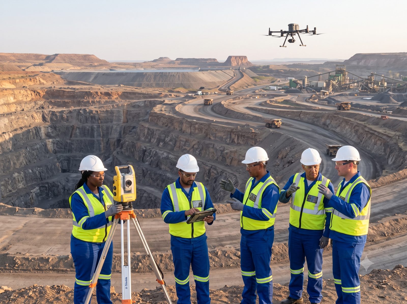
Mining title surveys, tailings and mine-stability monitoring, and mining due diligence for operators and investors.
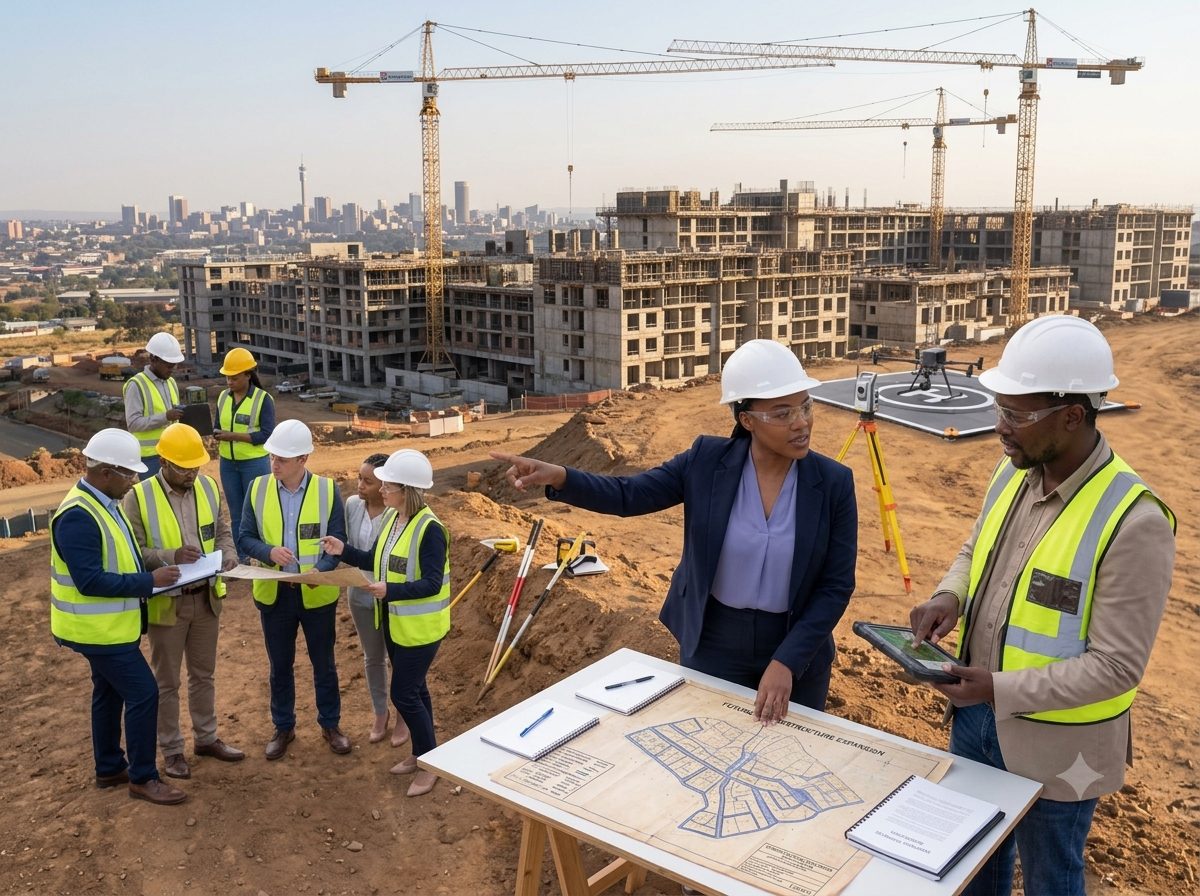
Engineering surveys, setting-out and as-built surveys, structural monitoring and due diligence.
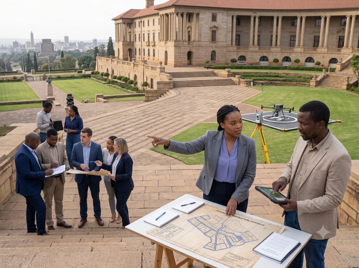
Township establishment, SPLUMA applications and land administration support.
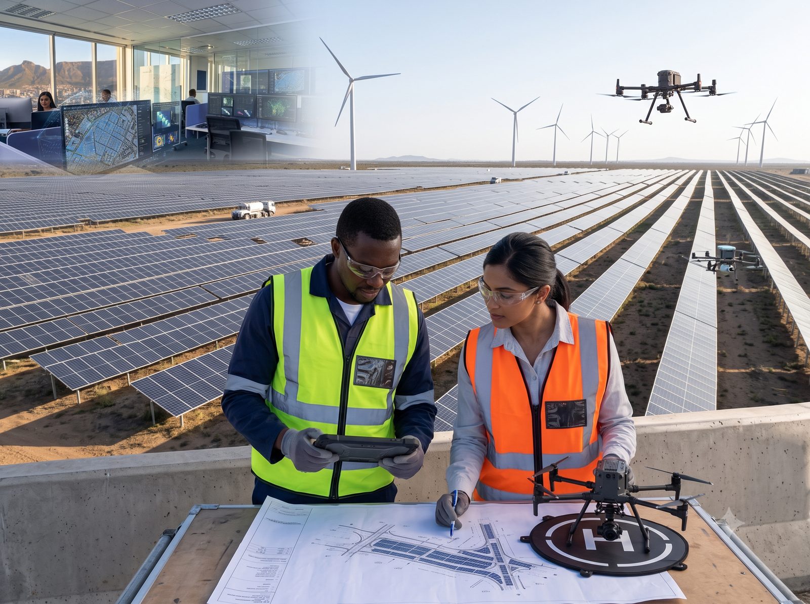
Solar and wind suitability analysis and renewable energy due diligence.
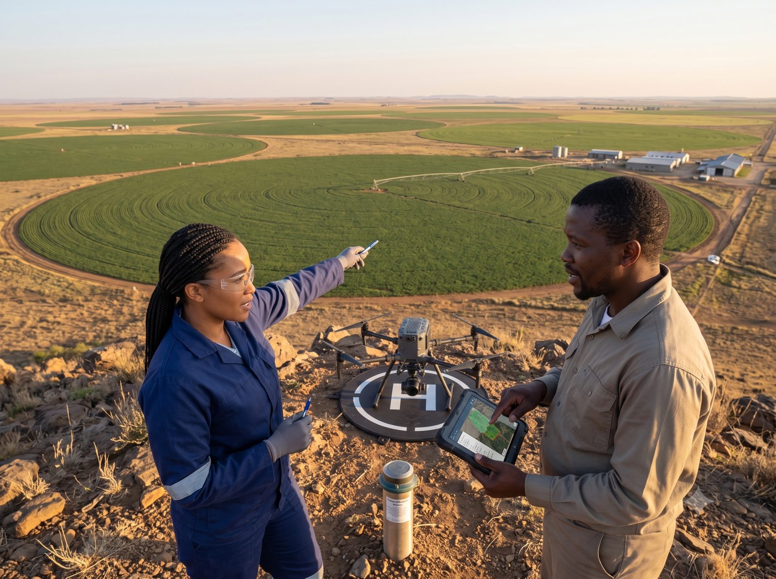
Suitability analysis, farm lineage and customary land-rights analysis.
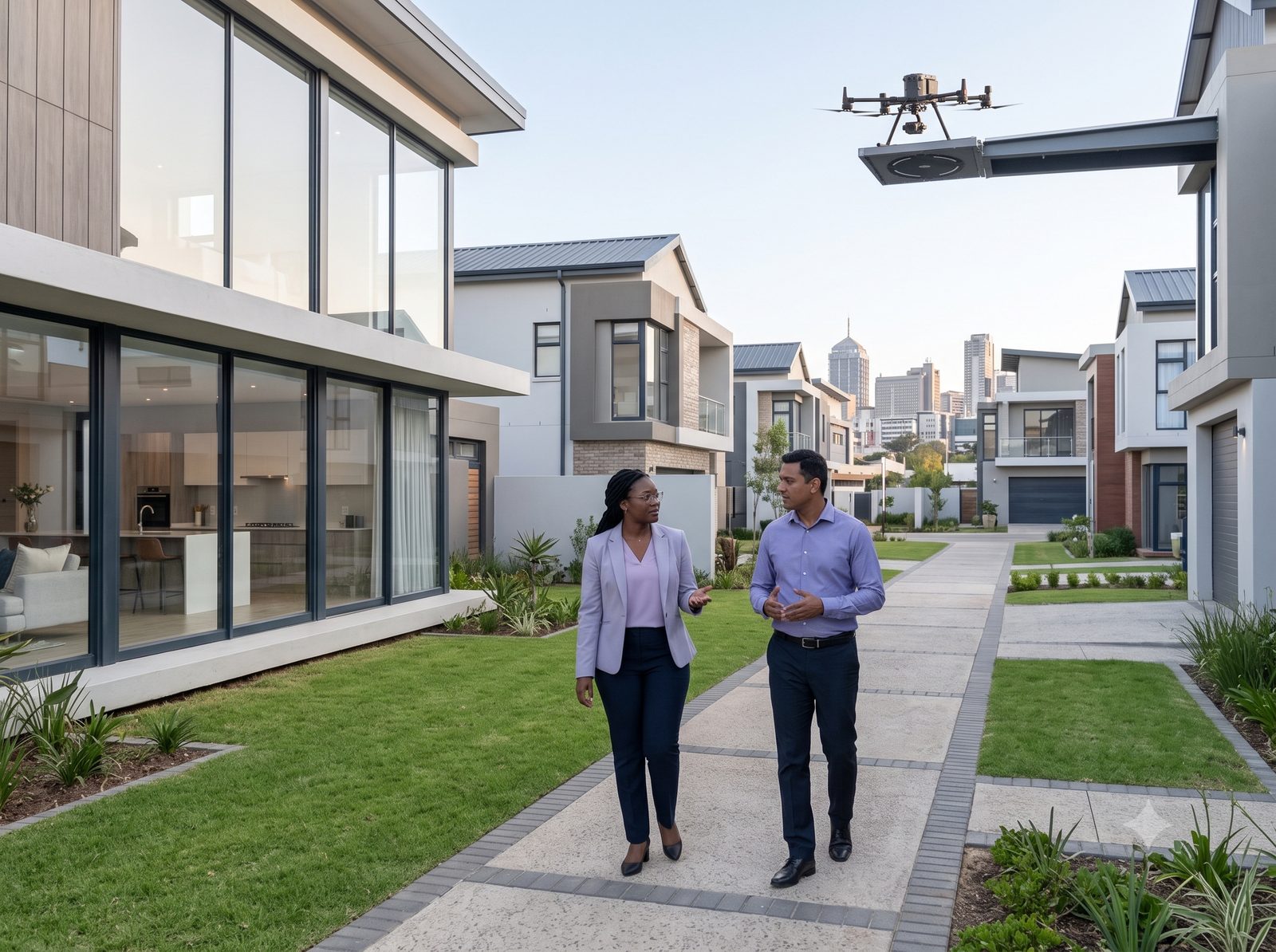
Cadastral and sectional title surveys, title deed analysis and due diligence.
How It Works
Measure, observe, understand, predict and advise are not separate services we hand between vendors — they are one connected ecosystem, delivered by one accountable team, under one roof.
“Every stage feeds the next, so every recommendation is grounded in data we measured ourselves.”
Our Work
A snapshot of the kind of work we deliver across sectors.

InSAR time-series and ground-motion analysis supporting tailings dam and mine-stability risk management for a resources operator.

Engineering control, setting-out and as-built support through a civil infrastructure build.

General plan and proclamation surveys paired with spatial planning advisory.

Suitability modelling and due diligence supporting site selection for a solar development.

Boundary evolution research paired with satellite-based land-cover and change-detection monitoring for compliance.
Representative engagements showing how the pipeline plays out on real sites — full case studies for each sector are on the Projects page.
Reviews
Honest words from clients who've trusted us with their surveying and spatial data needs.
R. Botha
Mine Surveyor · Rustenburg
Their ground-motion monitoring gave us early warning on tailings movement we would otherwise have missed. Invaluable for mine safety.
L. van der Merwe
Asset Manager · Midrand
The GIS platform they built transformed how we manage our infrastructure portfolio. Highly recommended for any spatial data need.
A. Sithole
Operations Director · Johannesburg
Clear, decision-ready reporting. They don't just hand over maps, they hand over answers our board can act on.
Insights
Field notes, technical explainers and project perspectives from across our work. A taste of what's on the Blog — head there for the full set of articles.
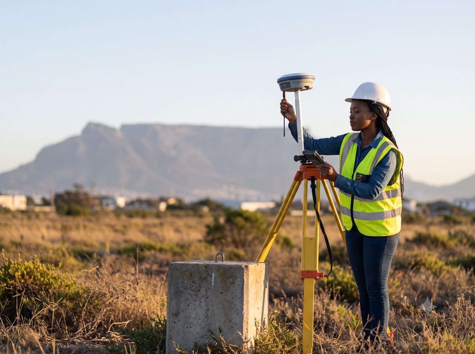
Field notes on subdivision, sectional title and boundary surveys, and what the Surveyor-General process actually involves.
Read Article →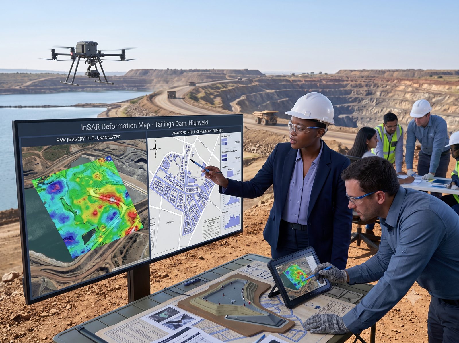
Technical explainers on satellite monitoring, InSAR ground-motion analysis and change detection over time.
Read Article →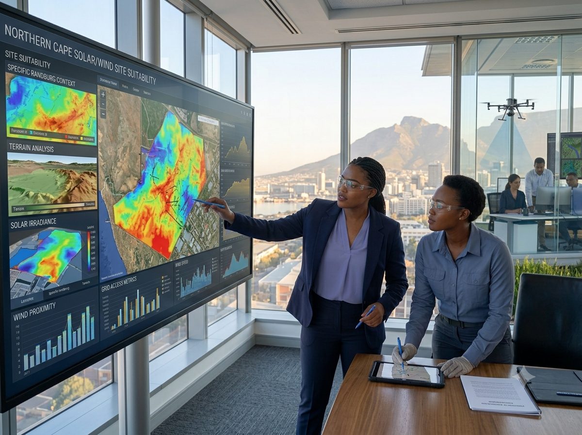
How we apply computer vision, machine learning and suitability modelling to real site-selection and risk decisions.
Read Article →Good To Know
Tell us about your project and we'll show you exactly which services apply and the fastest path to your first deliverable.
Stakeholders